
Main grid
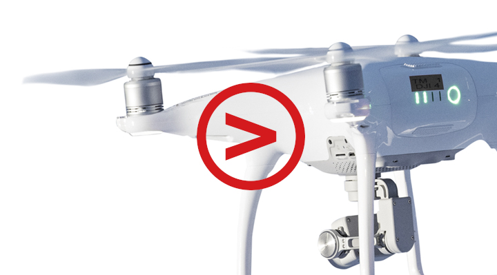
A drone is an efficient surveyor
Remote-controlled drones are rapidly becoming more common for professional use. A battery-powered drone equipped with a high-quality camera and GPS locator, also known as a mini helicopter, helps Fingrid experts collect location information and do surveying work.